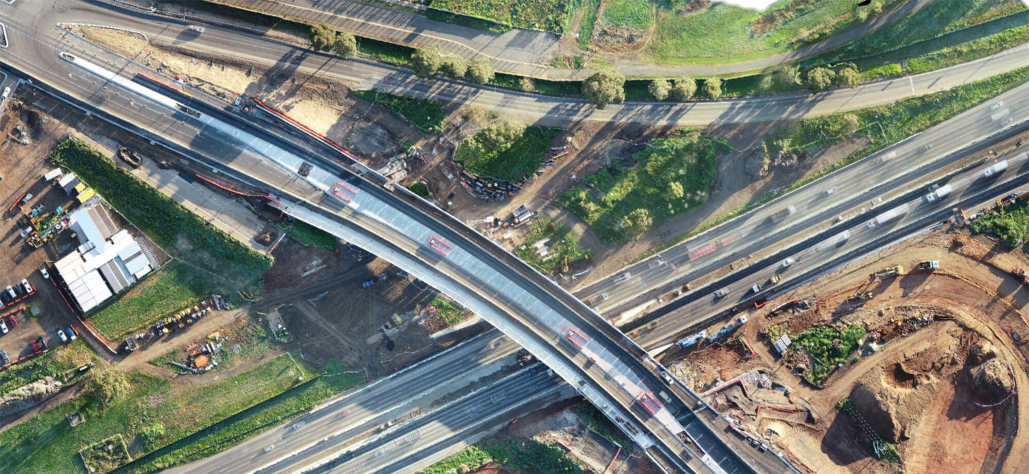
3D SpatialOur service combines cutting-edge drone technology and 3D scanning with advanced software mapping capabilities to produce reliable, accurate information delivered quickly, safely and within budget. Jac Surveyors is certified by CASA and maintains the strictest safety procedures.
|
We can generate a variety of deliverables
| Practical applications of 3D Laser Scanning include:
|