Engineering Surveys
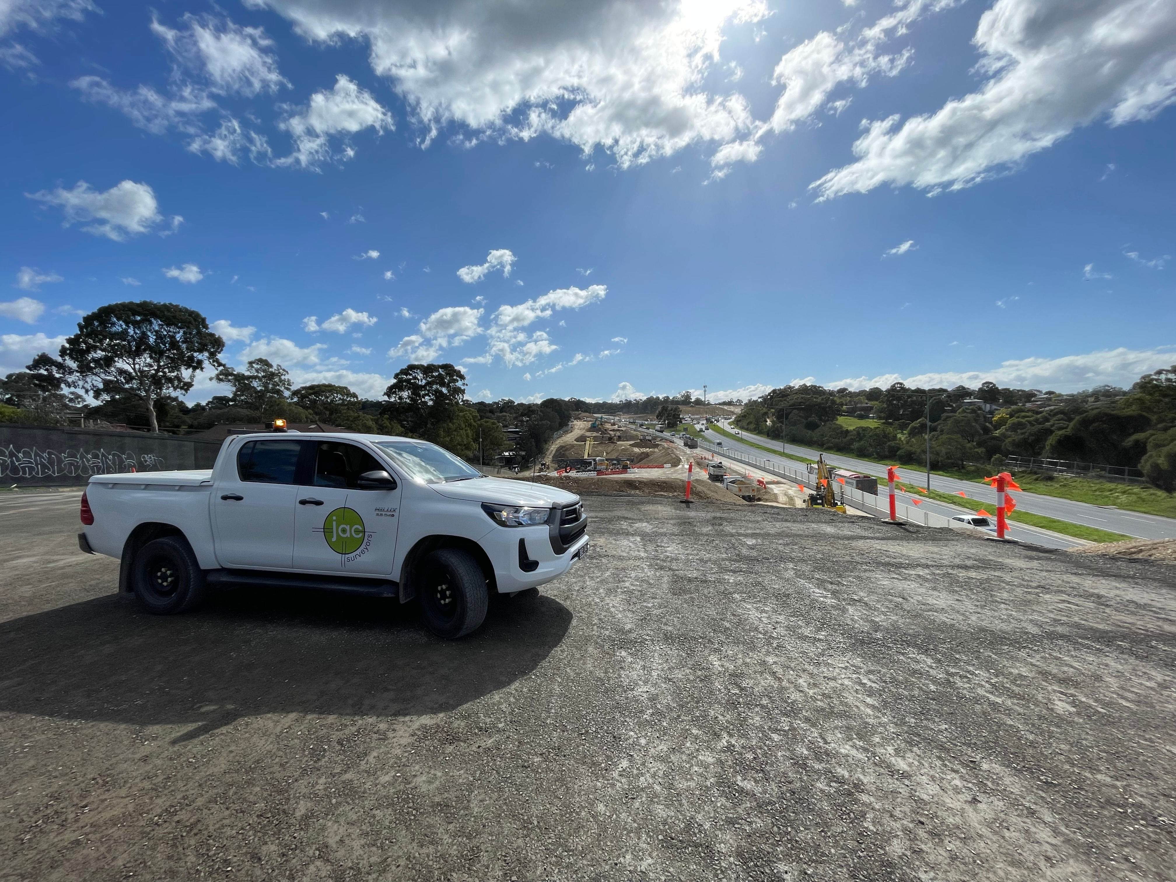
Engineering surveys are essential for the successful planning, design, and construction of infrastructure and development projects. They provide accurate spatial data that supports informed decision-making, ensures compliance with design specifications, and facilitates efficient project delivery.
We tailor our engineering surveys to meet the unique requirements of each project, using advanced technologies such as:
- GNSS (Global Navigation Satellite Systems) for high-precision geolocation.
- Robotic Total Stations for detailed measurement of angles, distances, and elevations.
- 3D Laser Scanning (LiDAR) for capturing complex site geometries and producing detailed point clouds.
- Drones (UAVs) for aerial mapping, topographic surveys, and progress monitoring.
- Digital Levels for precise elevation control and benchmarking.
- CAD and BIM Integration to support design workflows and digital engineering models.
Our engineering survey services support a wide range of projects, including:
- Road and highway construction
- Rail and transport infrastructure
- Bridges and tunnels
- Subdivision developments